SuperSites
Calperum Mallee SuperSite
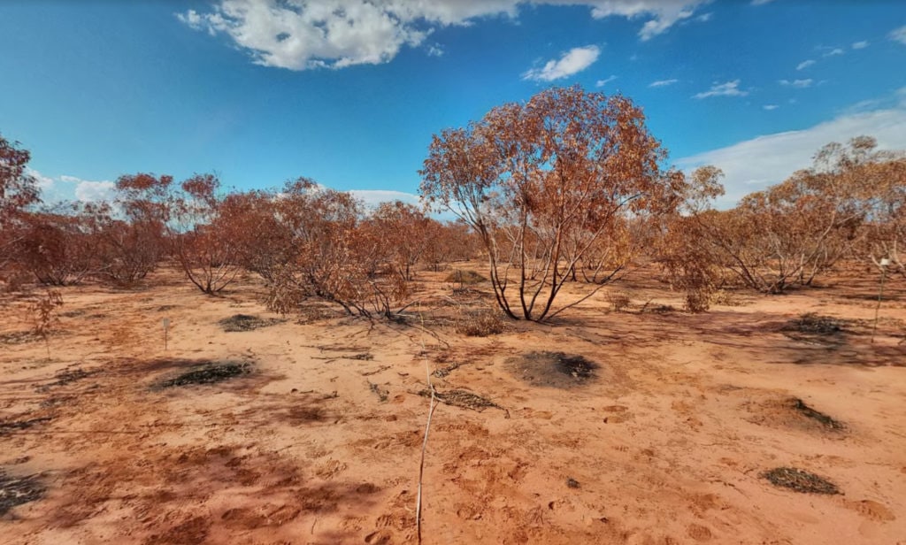
TERN’s Calperum Mallee SuperSite is in a mallee semi-arid ecosystem, fringing the River Murray floodplains on Calperum Station, near Renmark, South Australia. The area comprises undulating mallee woodlands and riverine vegetation alongside the river. All areas are in the process of recovering from extensive grazing. The Native Title for the area is held by the First Peoples of the River Murray and Mallee.

Site Infrastructure & Characteristics

SuperSite Research Infrastructure
- One eddy-covariance flux tower
- Soil water content, temperature and electrical conductivity probes
- Phenocams
- Groundwater bores with nested piezometers
- 18 x 1 ha Surveillance monitoring plots
- Airborne LiDAR and hyperspectral imagery calibrated using SLATS star transects, leaf sampling, tree structure and LAI measurements

SuperSite Details
- Vegetation type: Mallee woodland
- Elevation: ~67 m
- Rainfall: ~265 mm/yr
- Mean Temperature: ~17°C
- Soils: Tenosols
Site Research
Research using the Calperum Mallee SuperSite aims to answer these key questions:
- What are the fundamental energy, carbon, water and nutrient stocks and flows in the mallee, Callitris woodland and river floodplain ecosystems
- How are these stocks and flows responding to management interventions, such as reduced and controlled grazing, controlled fire, controlled floods on the floodplain?
- How are the biota changing in form, frequency and distribution as climate changes and more management interventions are imposed?
- How important is the connectivity between these ecosystems for hydrology, faunal movement and as refugia in times of drought?
Featured Dataset
This dataset consists of measurements of the exchange of energy and mass between the surface and the atmospheric boundary-layer in a semi-arid mallee ecosystem north of the River Murray near Chowilla using eddy covariance techniques.
More Datasets
Site Partners


Research Publications
Since its inception, TERN’s infrastructure has enabled the publication of more than 1600 peer-reviewed scientific journal articles or books.


