To help celebrate the 20th anniversary of OzFlux—the TERN-supported Australian and New Zealand eddy-covariance flux research community—we’re launching a regular ‘site of the month’ series that will visit a new environment monitoring site each month to celebrate recent achievements, the people who work there and the uniqueness of the environment measured.
To kick off this series, let’s journey to Gingin on the Swan Coastal Plain of Western Australia, land traditionally owned by the Yued group of the Noongar people.
The research infrastructure at the TERN Gingin Banksia Woodland SuperSite is provided by a collaboration between TERN, the Centre for Ecosystem Management at Edith Cowen University (ECU), the Government of Western Australia, CSIRO and the University of Western Australia (UWA). It is managed by Associate Professor Richard Silberstein from ECU.
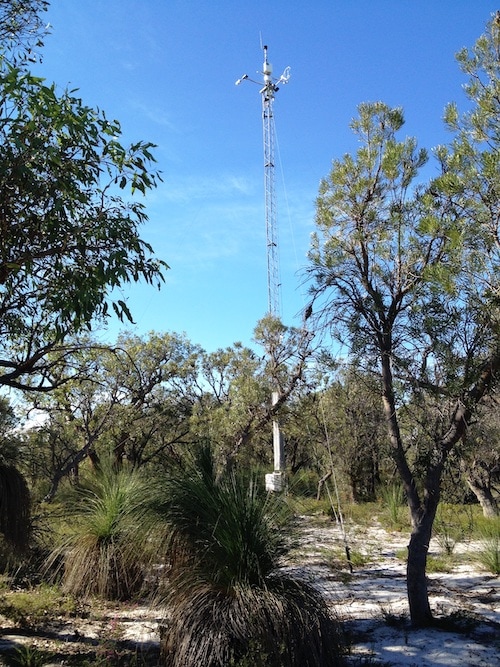
Gingin’s eddy-covariance flux monitoring tower set within a banksia heath woodland (credit: Richard Silberstein)
Sensors deliver data to understand natural capital change
As extreme events such as droughts, floods and fires become more commonplace, understanding and predicting the response of Australia’s ecosystems and their services becomes more important. TERN and its operating partners and user communities are committed to collecting data underpinning research and modelling related to a potentially hotter future with more extreme weather-related events.
To this end, the national research infrastructure at Gingin, including the 15m tall eddy covariance flux tower, was installed by CSIRO and TERN in 2011 with the aim of determining recharge rates to the Gnangara groundwater mound—a crucial water resource for Perth—and understanding how they’re changing over time. Data collected also sheds light on how the vegetation responds to groundwater changes.
TERN now maintains the flux tower instrumentation that continuously measures exchanges of carbon dioxide, water vapour and energy between the terrestrial ecosystem and atmosphere. The data these sensors collect are used by researchers to assess inter-annual variability in ecosystem fluxes from this important coastal Banksia heath woodland in southwestern Australia—the most prominent natural vegetation type in the Perth region.
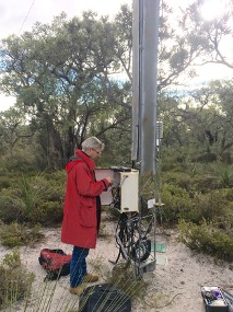
Richard Silberstein working on the Gingin flux tower (left, credit: Mirko Karan)
Ancillary measurements include temperature, air humidity, wind speed and direction (at four heights up the tower), precipitation, and incoming and outgoing shortwave and longwave radiation. Soil water content and temperature are measured at eight soil depths. Surface soil heat fluxes are also measured.
A CosmOz Soil Moisture Sensor provides continuous soil-moisture measurements averaged across a 250 m radius and the site also has a logged piezometer and nested piezometers installed with short screens for groundwater profile sampling.
Research activities using the Gingin Banksia Woodland SuperSite now include regular assessment of flora, fauna, microbial biodiversity, soils and hydrology, that complement the ecosystem scale flux measurements to provide a more complete picture of the ecosystem processes.
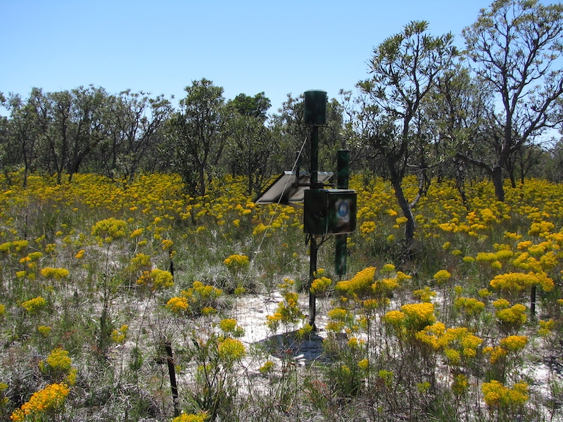
A CosmOz Soil Moisture Sensor provides continuous soil-moisture measurements averaged across a 250 m radius
Documenting ecosystem threats
The Gingin site is characterised by seasonal drying and drought which, along with ecosystem water use, human consumption, and a reducing rainfall, has led to falling watertables as Perth’s population grows.
“There are many former wetlands dotted around the woodland, most of which were inundated all winter and some had permanent water 30 years ago. The watertable has now fallen below the base of these systems and they are disconnected and are no longer permanently wet.
The fine sediments, sometimes diatomaceous, hold water and they have a perched watertable each winter. There is a natural progression of species accompanying this process as they gradually become increasingly dominated by more dry-adapted (xeric) species.
Added to this is the ever-present threat of fire and feral species encroachment, which threaten the species richness and long-term ecological functioning of the site.”
Richard Silberstein, Edith Cowan University
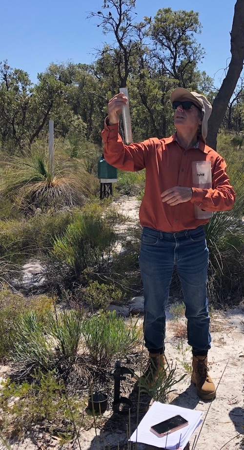
Richard Silberstein of ECU at one of the Gingin site’s groundwater monitoring bores
This combination of threats to ecosystem functioning is not unique to Gingin. Rather, they represent the situation in many ecosystems around Australia that are subject to a drying climate, falling watertables, fire and encroachment of feral species.
Therefore, the data collected at this site provide a fantastic resource for studies of such ecosystems across the nation. If scaled-up, and used alongside data from other TERN, OzFlux and Fluxnet sites, the national and global research possibilities are astounding.
How to use Gingin’s equipment and data
All the data collected at Gingin are accessible via the TERN Data Discovery Portal and the OzFlux data portal. If you have any questions about these data please email the TERN data help desk.
As COVID-19 restrictions are eased, TERN welcomes co-use of all its sites, including Gingin, by researchers.
The Gingin site is 2 km from the UWA International Gravity Wave Observatory and accommodation, storage and other facilities for wider use by educators and researchers can be arranged.
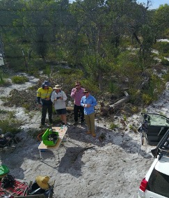
Collaborators working at the site using a drone to capture ecosystem imagery and data (right, credit: Jason Beringer)
We’re sure you don’t need much motivation to get out and visit this beautiful part of the world but, just in case, Richard’s spring invitation sounds very enticing!
“We have over 100 different species within our 1 ha flux site, most of them with beautiful flowers. There’s something in flower throughout the year; in spring, it’s a dream.
To be able to study the hydrological connections with the ecosystem, while enjoying the stunning flora is a wonderful combination; I never get tired of site visits.”
Richard Silberstein, Edith Cowan University
If you are interested in using TERN ecosystem research infrastructure please contact the TERN Project Office in the first instance. We’ll connect you with the relevant TERN members to progress your request. This process is streamlined and potential users of the field based research infrastructure should know within 1-2 weeks (as long as there are no ethics issues) if their proposed activities are approved.
Once researchers have completed their studies and journal publications have been completed, TERN encourages publication of the data through TERN’s data repository, under a Creative Commons licence. The centralised storage of monitoring and independent research data adds value to Australia’s long-term monitoring data and provides valuable temporal context for future studies.

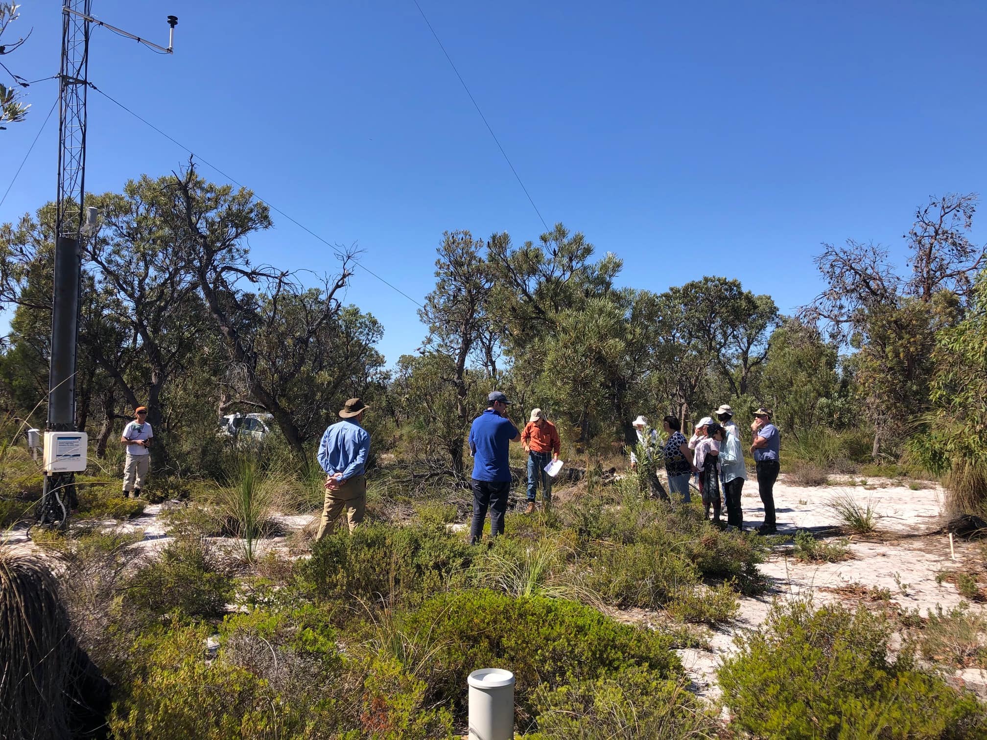
The TERN Advisory Board enjoying TERN’s Gingin Banksia Woodlands SuperSite in early March 2020


