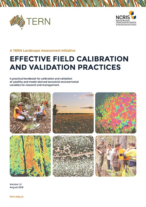
TERN’s newly updated ‘Effective Field Calibration and Validation Practices’ handbook is an Australian first in providing detailed information for calibrating and validating remote sensing derived products in a consistent manner to ensure they can be used for science and management applications. We invite you to download, read, assess, and contribute to this resource and help us ensure that a sound link between on-ground and remotely sensed data is maintained.
Earth Observation (EO) data are regarded as critical and essential information across multiple sectors in most countries around the world. In Australia alone, the use of EO-data is estimated to underpin more than $5 billon per year of economic activity. However, for the EO measurements to be useful in supporting decision-making and reporting activities, the collection of image and field data sets needs to be accurate, precise and able to be reproduced following appropriate procedures.
TERN’s ‘Effective Field Calibration and Validation Practices’ handbook is an Australian first in providing detailed information for calibrating and validating (Cal/Val) remote sensing derived products in a consistent manner. The handbook is intended to be dynamic and updateable.
Developed by TERN’s Landscape Research platform, the handbook collates effective calibration and validation practices that link closely with internationally agreed protocols, such as those set by the Committee on Earth Observations (CEOS) Working Group on Cal/Val.
The methods outlined in the resource are based on collaborations across various levels of government, research institutions, academia and private industry entities involved with the collection, processing and use of information derived from satellite and airborne sensors. They build on protocols developed by TERN’s other ecosystem observatory platforms, where vegetation structure, composition and ground cover information is collected using systematic and clearly defined methods. It has been designed to serve as a resource for conducting environmental science, mapping and monitoring using satellite and airborne image data.
TERN’s ‘Effective Field Calibration and Validation Practices’ demonstrates a unique collaboration across the remote sensing community in Australia developed by TERN. This handbook is intended to act as a starting point for information on effective Calibration/Validation practices and a way of promoting discussion and criticism.
We invite you to download, read, assess, and contribute to this resource and help us ensure that a sound link between ground and image data is maintained.
Effective Field Calibration and Validation Practices
A practical handbook for calibration and validation of satellite and model-derived terrestrial environmental variables for research and management
(22MB)


