The Australian Government has adopted TERN’s standard protocol for field-based environmental monitoring to assess the rehabilitation of the Northern Territory’s Ranger uranium mine following its closure. Find out how eight new monitoring plots and skills training integrate with TERN’s long-established Kakadu research infrastructure to help ensure that the best possible environmental outcomes are achieved.
Under current approvals, the Northern Territory’s Ranger uranium mine must cease processing of ore in 2021 and complete rehabilitation works by 2026. The Ranger Mine Closure Plan has been formulated by the mine’s operator, Energy Resources of Australia Ltd, and the Department of the Environment and Energy’s Supervising Scientist Branch has completed a detailed assessment of the plan.
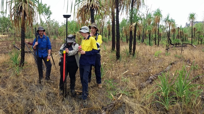
To develop key indicator values for closure goals and to assess the success of ecosystem restoration, the Supervising Scientist has adopted TERN’s field-based environment monitoring method—the TERN AusPlots Field Survey Apps & Protocols.

TERN protocols to assess the success of Ranger uranium mine rehab
Renee Bartolo from the Supervising Scientist says that the TERN AusPlots Survey Protocol was chosen due to its proven methods, comprehensiveness and ease of application.
“The AusPlots Survey Protocol provides a highly suitable method for characterising the plant communities in this region and assessing environmental change,” says Renee. “It contains a number of modules to collect detailed information on vegetation and soil, which can be undertaken as individual investigations or, depending on the particular purpose of the survey, in combination with others.”
“It has enabled us to survey the understorey in an effective way, which is a critical component of ecosystem restoration.”
“We are investigating the use of the protocol’s accompanying app which allows data to be entered in the field and then uploaded to a server as soon as a network connection is available.”
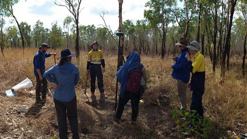
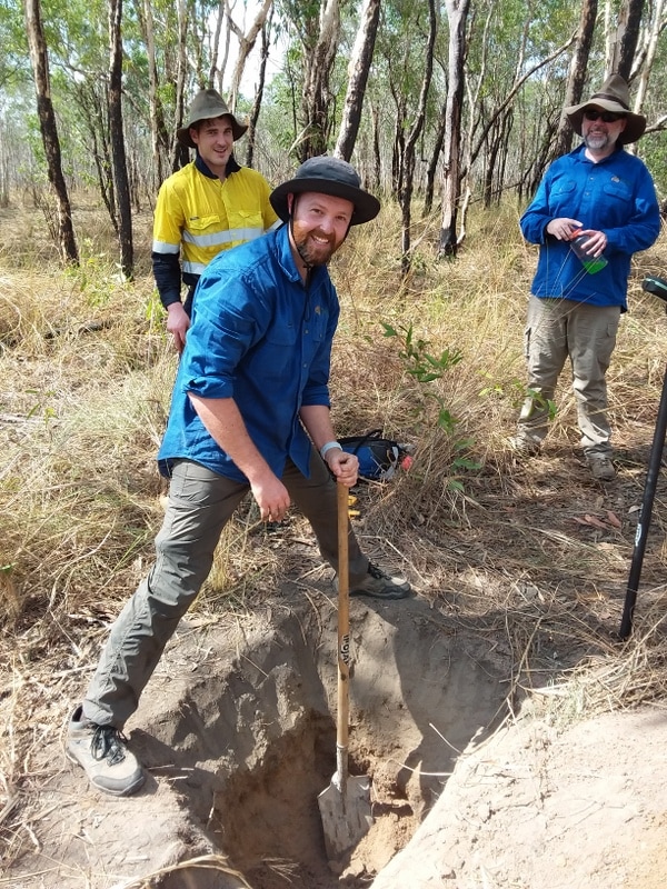
Eight standard 1ha monitoring plots, and two plots with modified dimensions (50 x 200m) for the sampling of seasonally inundated areas, have been established in the surrounds at Ranger uranium mine site. The 10 plots will be monitored over the duration of the site’s rehabilitation by Supervising Scientist Branch scientists trained in the TERN AusPlots Survey Protocol’s soil and vegetation data collection techniques.

Scaling up with drones and regional monitoring transects
To give a more complete picture of the effectiveness of the rehabilitation efforts, the Supervising Scientist Branch also plans to add drone imagery to their on-ground monitoring work.
Data from six, long-established TERN ecosystem surveillance plots in Kakadu National Park—which surrounds the Ranger uranium mine—will complement the Supervising Scientist Branch’s data and allow for comparisons.
Broader scale analyses will also be possible as the six sites in Kakadu form part of TERN’s Northern Australian Tropical Transect (NATT), which consists of 15 monitoring plots from the NT’s northern coast near Darwin (1700 mm mean annual rainfall) south to the fringe of the arid zone (500 mm mean annual rainfall). The annual visits to the sites at Ranger will help to add temporal depth to the data and add to the invertebrate work that was done on the NATT
- TERN’s field-based environmental monitoring method, the TERN AusPlots Survey Protocol, can be downloaded here.
- For more information on TERN’s Ecosystem Surveillance capability click here or contact Associate Professor Ben Sparrow.


