News
Building an accurate bird’s-eye view
December 1, 2012
Uncategorized
One of the main problems facing Australians who use remotely sensed data in scientific environmental research and analysis is the gaps in the record, in ...
Find out more
Improving national capacity to manage coasts
December 1, 2012
Uncategorized
More than 85% of Australians live, work and play on or around our coasts and estuaries. As a result, these complex and dynamic ecosystems are ...
Find out more
ACEAS: synthesis capability for Australia’s ecosystem research and management
December 1, 2012
Uncategorized
There are very few organisations that are really attempting to tackle complex ecosystem research and management problems and that have the necessary multi-disciplinary approach across ...
Find out more
Treasure trove of images from space to boost local research
December 1, 2012
Uncategorized
AusCover has accessed 10 years of hyperspectral data collected over Australia by the satellite-borne sensor, Hyperion, and has made them available for the assessment of ...
Find out more
TERN stakeholder survey 2012: summary of results
November 1, 2012
Uncategorized
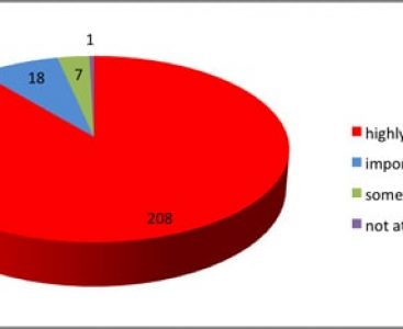
Overwhelming support for collaborative research infrastructure Thanks to everyone for their help with our recent stakeholder survey, which is an important annual assessment of TERN’s ...
Find out more
Helping stakeholders assess fire risk
November 1, 2012
Uncategorized
At the invitation of the Queensland Government, TERN delivered a briefing session to introduce a range of new, free remote-sensing products relevant to assessing fuel ...
Find out more
Savanna burning to save carbon emissions
November 1, 2012
Uncategorized
Example of burnt-area map for northern Australia made using MODIS data. The different colours indicate different days between 1 June and 15 September 2008, and grey ...
Find out more
Mapping fire severity in tropical savannas
November 1, 2012
Uncategorized
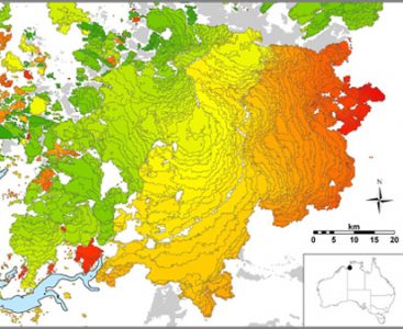
Australia’s tropical savannas cover approximately 25%, or 1.9 million km2, of the continent, spanning Western Australia, the Northern Territory and Queensland. During the dry season, ...
Find out more
Using Google to deliver spatial science
November 1, 2012
Uncategorized
Thanks to a new partnership between TERN, CSIRO and Google, detailed satellite imagery about Australian landscapes will soon be available through the Google Earth Engine. ...
Find out more
Australian fire patterns determined by tropical monsoons
November 1, 2012
Uncategorized
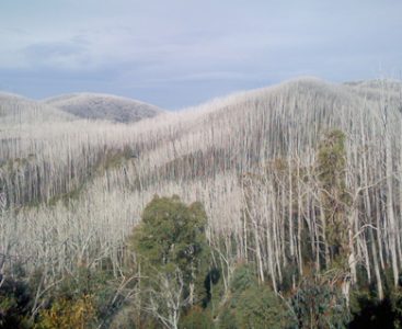
An area of alpine ash (Eucalyptus delegatensis) burnt and killed during the catastrophic fires in the Australian Alps in 2003 The pattern of bushfires in Australia ...
Find out more
Subscribe to TERN News
Project updates, data releases, research findings, and users stories direct to your inbox.


