TERN’s AusPlots facility has successfully completed another iteration of its field methods training course. Current and next generation ecosystem science researchers and land managers from around Australia recently spent four days at Owen Springs Reserve near Alice Springs where they were trained in the AusPlots Rangelands Field Survey Protocols. The newly acquired skills and practical inspiration will enable course participants better monitor, understand, and manage our vast and vital rangeland ecosystems.
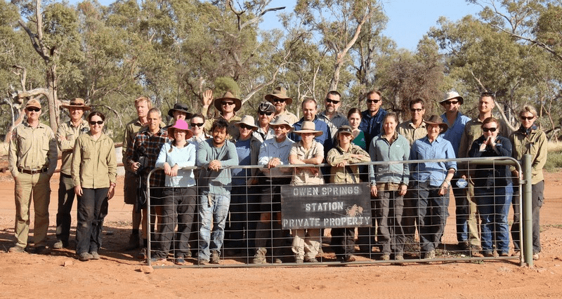
Attendees of AusPlots training included federal government representatives, land management professionals, researchers from several different fields, and undergraduate students
|
The AusPlots Rangelands Survey Protocols Manual is available for free download here |
Following the recent Ecological Society of Australia conference held in Alice Springs, the AusPlots team from the University of Adelaide offered a four-day training course of their modular rangelands survey protocol. The course, held from 5-8 October 2014, attracted 20 participants and was led by eight staff. With South Australian undergraduate students, Northern Territory and West Australian land management personnel, TERN staff from other facilities, an array of researchers and federal government representatives in attendance, the course not only provided an insight into the AusPlots methodology but also a fantastic opportunity for networking and knowledge sharing.
After a one day lecture series presented by AusPlots staff Ben Sparrow, Andrew Tokmakoff, and Sally O’Neill at the Alice Springs Desert Park, the course took a hands on approach with the methodology being taught at nearby Owen Springs Reserve for three days.
In small groups, participants were given the opportunity to visit a new plot each day to gain instruction in the vegetation, soils, and technical components of the method.
With over 400 established AusPlots monitoring plots broadly spread across Australia, TERN hopes that courses like this will allow others to add to this growing number by utilising the AusPlots method.
The training course aims to provide the skills necessary for others to add to the established AusPlots across Australia and raise awareness of the AusPlots database to potential users.
If you would like information on future training courses from AusPlots, please register your interest by emailing TERN.
AusPlots Director Ben Sparrow would like to thank all participants for their enthusiasm, and the Owen Springs Rangers Sheridan Martin and Mark Trower for allowing access to the reserve and volunteer facilities.
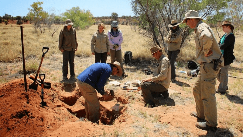
Course participants learn how to measure soil bulk density, an indicator of soil compaction and vital for understanding root growth, and how water and air move through the soil
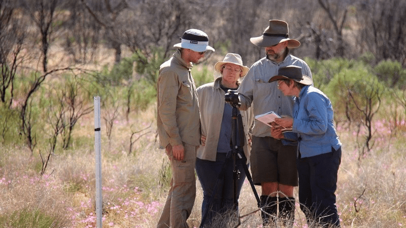
AusPlots Director Ben Sparrow (second from right) explains the 3D photo panorama, which can be used to digitally generate an interactive 3D model of the plot
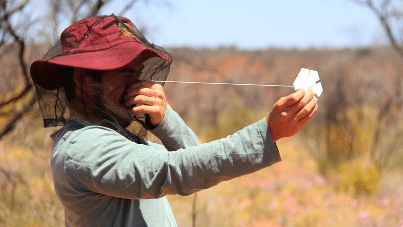
One participant gets his eye in on the basal wedge, used to measure tree basal area and biomass
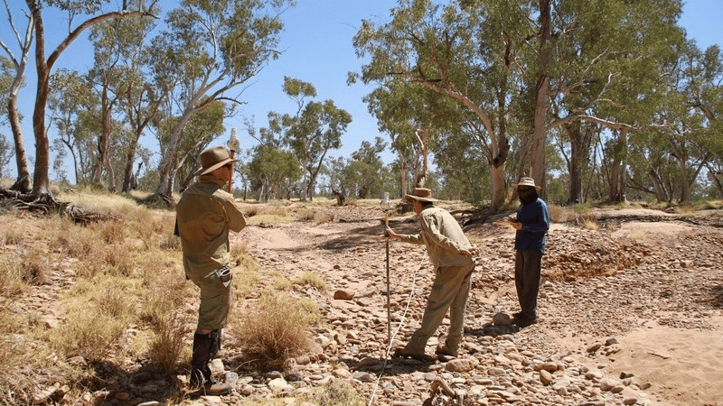
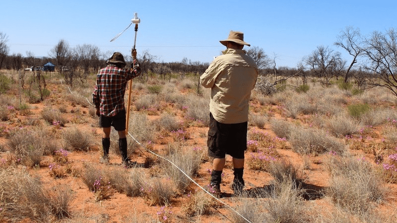
Above and below, participants practice the AusPlots’ point intercept methodology, designed to quantify cover, vegetation structure and species abundance at each plot
Published in TERN’s Ecosystem Processes newsletter December 2014


