SuperSites
Fletcherview Tropical Rangeland SuperSite
TERN’s Fletcherview Tropical Rangeland SuperSite is located at James Cook University’s Fletcherview Research Station, a two hour drive southwest of Townsville in the state of Queensland, Australia.
The Fletcherview Research Station is a working cattle station and the TERN site is positioned in grazed open savanna woodland dominated by eucalypt trees overlying tropical grasses. The main tree species are Reid River box (Eucalyptus brownii), with mature tree heights of 10–13 metres. There is an understorey of native shrubs with currant bush (Carissa ovata) covering 20 to 30 percent of the area.
Long-term average annual rainfall measured at the nearest Bureau of Meteorology weather station (Charters Towers) is 630 mm, with 80 percent of rainfall occurring from October to March. The SuperSite is located on a level plain composed of very deep, strongly structured, medium to heavy clay soils. Shallow normal gilgai micro-relief is a predominant surface feature of this location. There are two main soil types, which are specific to where they are positioned on the giligai – Dermosols are found on the mounds, with Black Vertosols in the depressions.
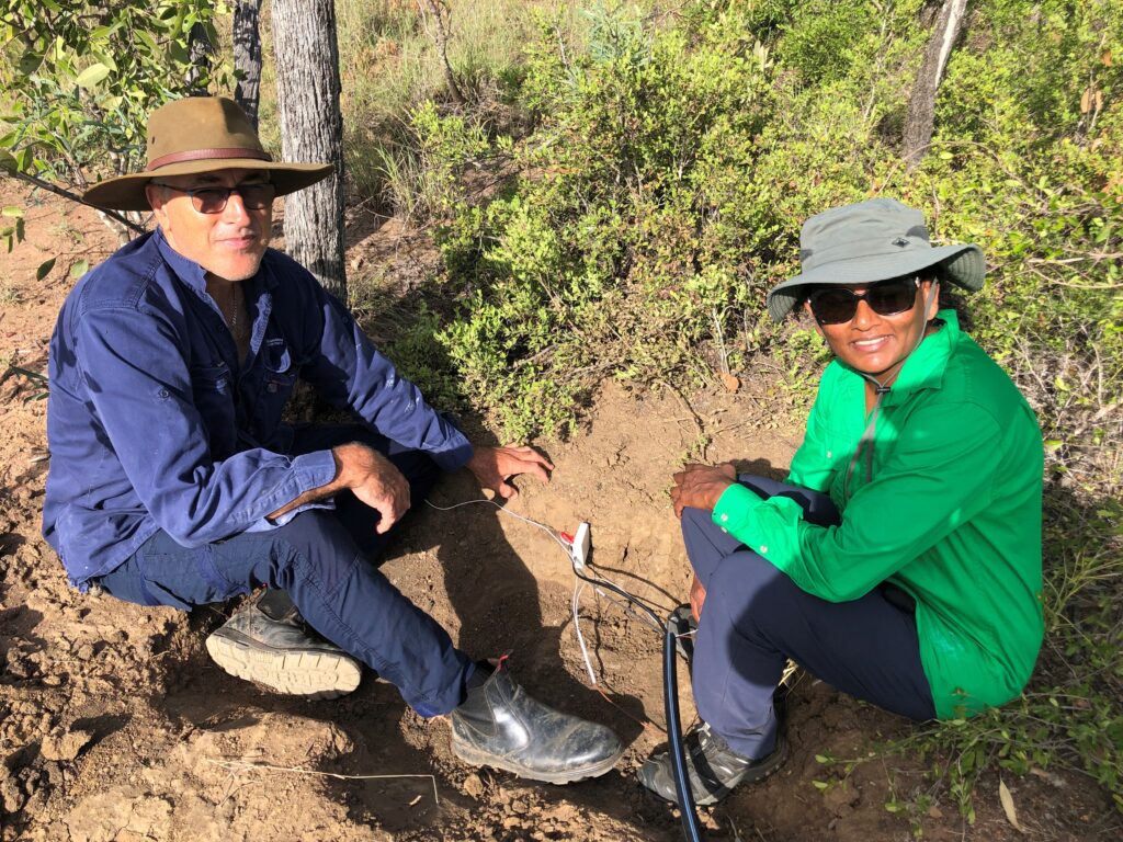
This site uses the eddy covariance method to directly measure water and carbon fluxes; a PhenoCam to measure greenness; soil moisture sensors to measure soil water content; and field measurements of pasture biomass in the grazed paddock. Sapflow sensors have recently been installed to measure tree water use and to partition evapotranspiration into tree and grass water use.
Site Infrastructure & Characteristics

SuperSite Research Infrastructure
- Eddy-covariance flux tower
- 1 ha core plot
- Biodiversity monitoring plots
- Acoustic sensors (4)
- Phenocams (1 above canopy)
- Soil water content, soil water potential, soil temperature sensors
- COSMOZ Soil moisture sensors
- Pasture biomass monitoring exclosure
- Sapflow sensors for tree water use

SuperSite Details
- Vegetation type: Tropical rangeland, tall open woodland
- Elevation: ~268 m
- Rainfall: ~642 mm/yr
- Soils: black and red basalt soils and alluvial river flats
Site Research
The Fletcherview Tropical Rangeland SuperSite is providing micrometeorological measures in an agricultural landscape – two thirds of Australia’s net ecosystem productivity (carbon uptake) is estimated to be from within annual ecosystems such as grasslands.
Grazed woodlands cover a huge part of northeast Australia but the dynamics of these ecosystems—with respect to their carbon and water cycle—are still relatively unexplored.
Grazed woodlands have potential to exert influence on the continental carbon budget through processes such as woody thickening, but we also know they are subject to pronounced climate variability, encroachment of invasive plant species, and changes in grazing system management that can have big impacts on ecosystem carbon and water fluxes.
The TERN Fletcherview Tropical Rangeland SuperSite is providing core research infrastructure and data which underpins research aimed at providing a better understanding of the functioning of these systems, and how they might respond to a changing world.
Read more here.
—
Data from this SuperSite can be found here:
Cleverly, J., Owens, J. (2022) Fletcherview Tropical Rangeland Flux Data Release 2022_v2. Version 1.0. Terrestrial Ecosystem Research Network. [data set] https://doi.org/10.25901/evng-n587
Cleverly, J., Owens, J. (2022) Fletcherview Tropical Rangeland SuperSite PhenoCam Images and Phenology Data Collection. Version 1.0.0. Terrestrial Ecosystem Research Network (TERN). (Dataset). https://portal.tern.org.au/fletcherview-tropical-rangeland-phenology-collection/23308
Site Partners


360 view of the Fletcherview Tropical Rangeland SuperSite
Use your mouse to navigate this 360 photo (fullscreen recommended).


Research Publications
Since its inception, TERN’s infrastructure has enabled the publication of more than 1600 peer-reviewed scientific journal articles or books.


