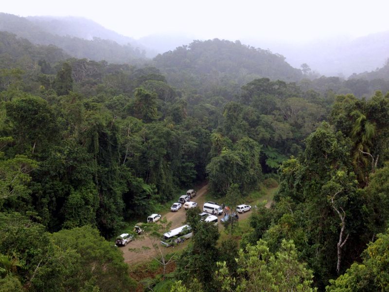
TERN’s research data repository is being used by one of our closest partners, the Australian Government’s Department of Environment and Energy to calibrate and validate carbon models and greenhouse gas accounting. Our high-quality data are vital in ensuring the accuracy of Australia’s carbon model predictions and helping meet national reporting requirements under international climate and sustainability frameworks.

of remnant/minimally disturbed forest (blue) and
woodland (orange), including TERN sites, used in
the FullCAM carbon accounting model
TERN’s nationally networked infrastructure and end-user-focused data products are delivering more accurate ways of measuring and estimating Australia’s current and future carbon stocks and flows. Our sites and the data collected at them are helping increase certainty for our partners and stakeholders working to understand and manage carbon-related issues in state and federal government agencies, industry, NGOs and the ecosystem science community.
Datasets collected by TERN are already being used by Australia’s leading ecosystem scientists to improve estimates of Australia’s annual terrestrial carbon budget. Now we’re very pleased to report that our data are also being used by the Australian Government’s Department of Environment and Energy (DoEE) to calibrate and validate Australia’s carbon models and greenhouse gas accounting.
To construct Australia’s national greenhouse gas emissions account for the land sector, DoEE uses a carbon accounting model called FullCAM (Full Carbon Accounting Model). FullCAM uses biomass data collected from thousands of sites across the nation, says Dr Keryn Paul of DoEE’s National GHG Inventory team and CSIRO.
“To calibrate and validate the maximum forest biomass figures predicted in FullCAM, we use forest and woodland biomass data collected from TERN’s ecosystem processes monitoring SuperSites,” says Keryn.
“TERN SuperSites are included in our top 50 high-quality calibration and validation sites for checking FullCAM predictions of biomass, debris and soil carbon stocks over time. The high-quality data we receive from TERN are vital in ensuring the accuracy of the FullCAM model predictions of carbon.”

Biomass data from TERN’s SuperSites are used by DoEE together with data collated from thousands of other sites and made openly available via the TERN Biomass Plot Library.
The TERN Biomass Plot Library, and its associated National Biomass Map and high-resolution map products of woody vegetation height and cover, deliver more accurate and finer resolution information on the state of Australia’s vegetation and provide a game-changing platform to assist research, management, policy, restoration and the sustainable use of the nation’s ecosystem services.
The library has been constructed by methodically collating tree-level data from a plethora of on-ground vegetation surveys conducted by multiple organisations throughout the country, including by TERN.
The biomass of each tree has then been estimated using a suite of allometric equations developed by Keryn and her colleague Stephen Roxburgh from the CSIRO.
“The TERN Biomass Plot Library provides data from over 15,000 plots located in all states and territories, with over 1 million measurements of the diameters of individual trees openly available,” says Keryn.
“By providing these essential data and services for model calibration and validation processes, TERN is not only improving the accuracy of carbon models but also helping government agencies meet national reporting requirements under the framework of, for example, both the United Nations Framework Convention on Climate Change and the Sustainable Development Goals.”
- For more information on TERN’s Ecosystem Processes platform, its network of 12 SuperSites and eddy covariance flux towers, and the data they collect click here or explore the open data via TERN’s Data Discovery Portal.
- Click here to access TERN’s Biomass Plot Library


