An analysis this year by the University of Queensland’s Library of peer-reviewed publications mentioning TERN data, sites or expertise demonstrates the diversity of research areas supported by TERN’s ecosystem research infrastructure. Not unexpectedly, environmental sciences lead the top 15 categories found in Web of Science.
Let us know if you have a new publication to add to the 2100 already recognised in our catalogue – better still, use one of TERN’s acknowledgement statements and our searches will find you.
Below are 2 publications from 2024 that have used TERN data.
Soil Organic Carbon
Space-time mapping of soil organic carbon stock and its local drivers: Potential use in carbon accounting. Ugbaje, S.U., Karunaratne, S., Bishop, T, Gregory, L, Searle, R., Coelli, K. and Farrell, M.
Geoderma 141: 116771 (2024)
A CSIRO-University of Sydney collaboration has resulted in an Australian space-time mapping of soil organic carbon stocks, providing a better understanding of local drivers and showing the potential of the method for use in greenhouse gas accounting and carbon trading schemes.
The team acknowledges that while repeated direct measurement of a location over time represents the ‘gold standard’ for soil organic carbon stock change estimation, this is currently unworkable at scale due to sample collection and analysis costs.
The method adopted is a data-driven, space–time digital soil mapping modelling approach (ST-DSM) coupled with an interpretive machine learning (IML) technique to both predict and quantify the relative contributions of covariates to annual SOC stocks and their uncertainty at 0–30 cm depth and at a 90 m spatial resolution for Australia between 1990 and 2018.
The publicly accessible suite of static covariates that are part of TERN’s Soil and Landscape Grid of Australia were used in the mapping. The results ably demonstrate not only the feasibility of using readily available and inexpensive covariates to estimate SOC stock changes, but also the underlying drivers over a larger area – and at a spatial resolution suitable for decision making.

With the growing number of existing profile observations in soil databases, could we be near to delivering a new monitoring and verification approach suitable for national carbon accounting?
Dr Sebastian Ugbaje, who developed the recently published method as part of his CSIRO post doc, is now using it to produce data for a dashboard that will visualise the SOC stocks times series for any point in Australia. Watch out for it through TERN!
Do averages work in climate models?
Stewart, S.B., McVicar, T.R., Van Niel, T.G. et al. Continental scale spatial temporal interpolation of near-surface air temperature: do 1 km hourly grids for Australia outperform regional and global reanalysis outputs?. Clim Dyn 62, 9971–10002 (2024). https://doi.org/10.1007/s00382-024-07340-w


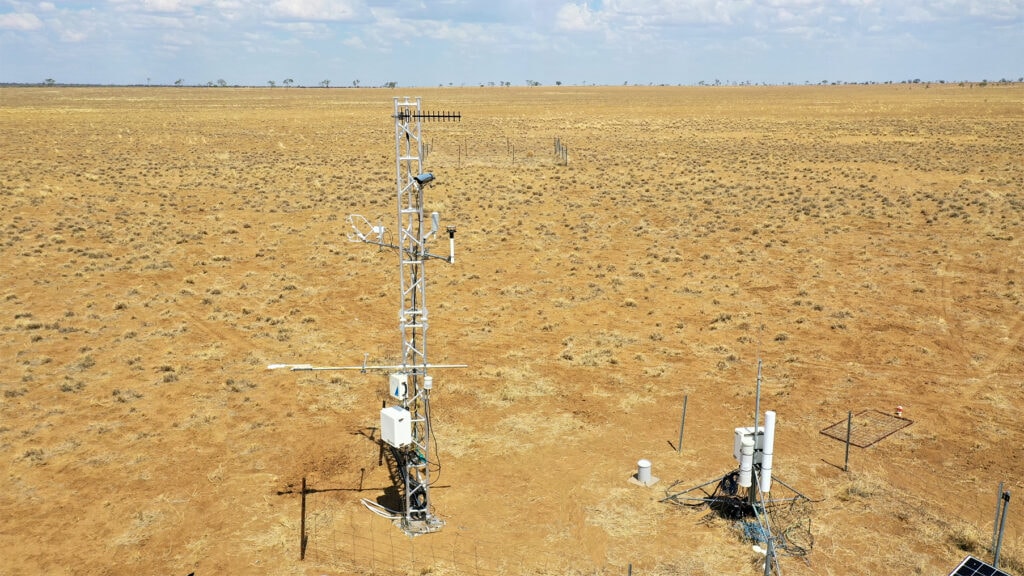
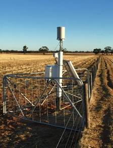
TERN’s on-ground eddy covariance flux instruments and its COSMOS soil moisture network proved invaluable in this study, which tested the outcomes of using daily mean temperatures to identify near-surface air temperature.
While near-surface air temperature is an essential climate variable for the study of many biophysical phenomena, as yet it is often only available as a daily mean or extrema (minimum, maximum). But many applications need data in units less than a day.
To overcome this issue, the researchers developed an hourly air temperature product for Australia with spatial interpolation of hourly observations from 621 stations between 1990 and 2019. The model was validated with hourly observations from 28 independent stations, compared against empirical temporal interpolation methods, and both regional (BARRA-R) and global (ERA5-Land) reanalysis outputs.
The CSIRO research team developed a time-varying (i.e., time-of-day and day-of-year) coastal distance index that corresponds to the known dynamics of sea breeze systems, improving interpolation performance by up to 22.4% during spring and summer in the afternoon and evening hours.
Cross-validation and independent validation (n = 24/4 OzFlux/CosmOz field stations) statistics of the team’s hourly output showed performance that was comparable with contemporary Australian interpolations of daily air temperature extrema (climatology/hourly/validation: R2 = 0.99/0.96/0.92, RMSE = 0.75/1.56/1.78 °C, Bias = -0.00/0.00/-0.03 °C).
Outputs from the analyses demonstrate the limitations of temporal interpolation of daily air temperature extrema, which can be biased due to the inability to represent frontal systems and assumptions regarding rates of temperature change and the timing of minimum and maximum air temperature.
Spatially interpolated hourly air temperature compared well against both BARRA-R and ERA5-Land, and performed better than both reanalyses when evaluated against the 28 independent validation stations.
This research demonstrates that spatial interpolation of sub-diurnal meteorological fields, such as air temperature, can mitigate the limitations of alternative data sources for studies of near-surface phenomena and plays an important ongoing role in supporting numerous scientific applications.


