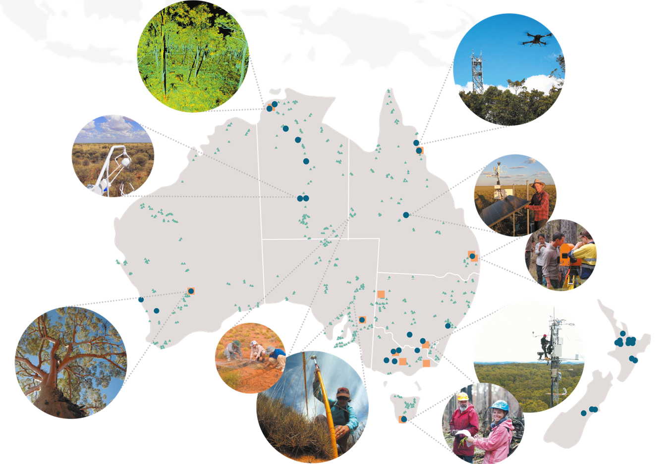
Imagine a world where we can predict soil moisture levels with cosmic rays, map out our landscape in stunning detail, and even monitor soil carbon sequestration, sequestration rates and soil health. Let’s take a look at highlights of 2024 from the TERN team that focuses on the whole of our national landscape.
Production of the continental-scale landscape products of TERN is coordinated by the TERN Landscapes platform of our Ecosystem Observatory and is led by CSIRO. The work of this platform of the TERN Observatory is more than just collecting data – it’s about working together with the whole TERN family and TERN’s national and international collaborators to produce fundamental datasets, as well as transforming those data into derivative data products that enable users to better understand and protect our environment. Below, we describe just some of the activities and achievements of 2024 from this area of TERN.
TERN Landscapes’ Himawari products monitor solar irradiance, ecosystem phenology, ecosystem stress, land surface reflectance and temperature across Australia. The satellites capture detailed images every 10 minutes and the assembled data spans a period of 10 years between 2015-2024. One of the products that has been developed is a national scale eco-stress assessment and dataset.
TERN Landscapes has also developed a high resolution, dynamic Actual Evapotranspiration
(AET) Dataset. This dataset is crucial for managing water resources, especially in a country as dry as Australia. We are now processing the AET dataset back to 1987 to capture long-term water use across Australia.
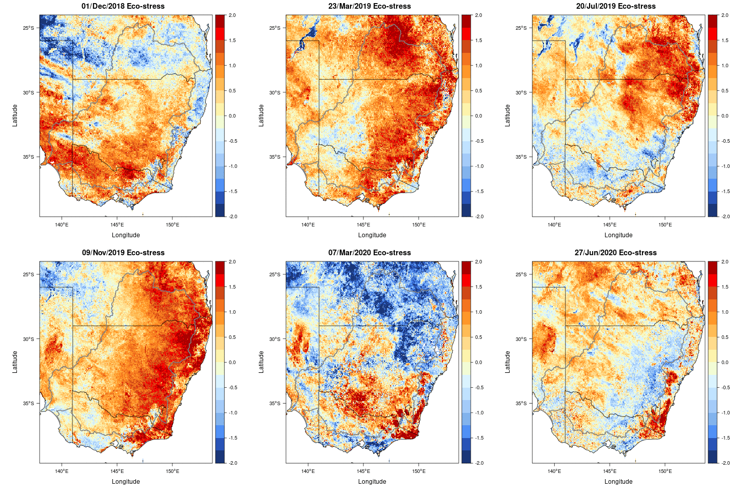
The TERN Himawari Eco-stress product monitors vegetation drought. In this eco-stress animation, red = low water / high vegetation stress and blue = plentiful water / low vegetation stress (Credit: TERN-CSIRO)
TERN Landscapes has also made strides in understanding and identifying Groundwater Dependent Ecosystems (GDEs). By using modelling techniques and assembling the relevant data streams, the team has mapped out how these ecosystems function and interact with their environment.

The Soil and Landscape Grid of Australia (SLGA) is a cutting-edge, high-resolution spatial and temporal mapping infrastructure that reveals invaluable insights into fundamental ecosystem attributes across the nation. This transformative resource underpins advanced environmental modelling by providing critical biophysical data. In 2024, TERN optimised workflows and methodologies, ensuring updates are not only efficient but also harness the latest technologies and state-of-the-art soil mapping techniques.
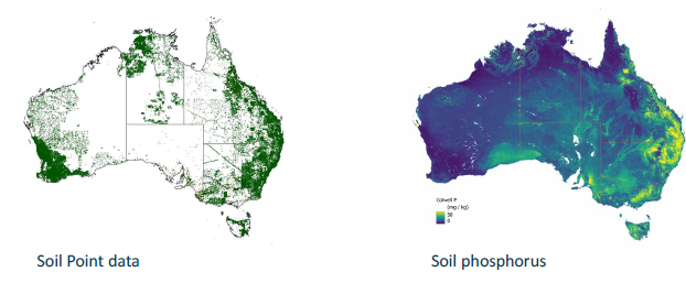
Looking ahead, the next steps involve developing a national-scale digital soil and land assessment framework for all manner of soil capability queries. This work will pave the way for next generation biogeochemical modelling tailored to the Australian context, building one of the most comprehensive and profound understandings of our nation’s soil resources and their functions.
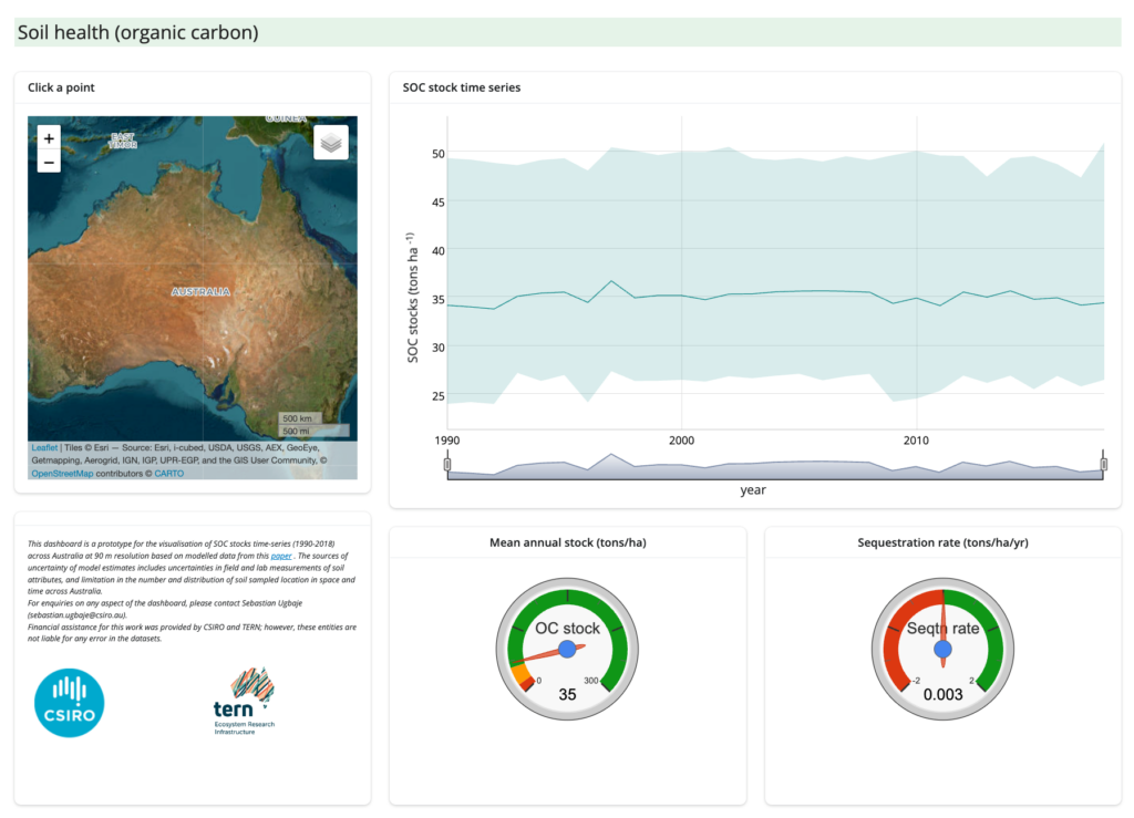
TERN Landscapes is also developing user-orientated dashboards to bring TERN’s data to life. An example the one shown below for checking soil organic carbon (SOC) stock trends,
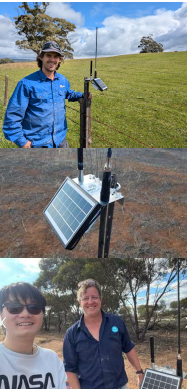
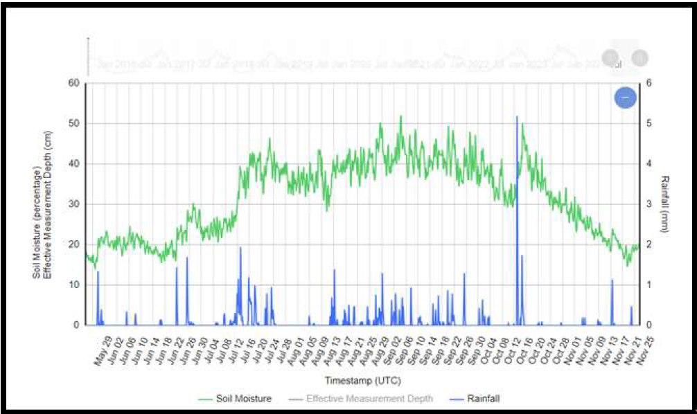
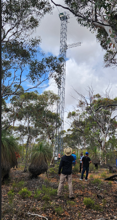
One of TERN’s coolest achievements has been the CosmOz and Soil Moisture Network, which will not only be further integrated into TERN’s Actual Evapotranspiration (AET) and soil moisture products in the near future but we will also co-deploy both cosmos and soil moisture sensors with TERN flux towers. Already this network has revolutionised how we measure and model soil water in conjunction with soil data.
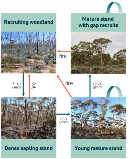
Our last highlight from 2024 relates to a tool for managing ecosystems and their services. Australia needs a way to map, monitor and predict trajectories of its natural and modified ecosystems at regional and national scales, in a consistent and repeatable way. Through its National Ecosystem Assessment System for Australia (NEASA) project, TERN Landscapes is developing new infrastructure and tools towards this goal.
In the first phase of the project, which kicked off this year, NEASA is synthesising empirical data and expert knowledge of ecosystem change. The outputs will be conceptual models to facilitate integration of real-world data into ecosystem assessments, predictions and scenarios.


